29th SCEgeo Conference
„Surveying, Civil Engineering and Geoinformation for Sustainable Development”
June 22-24, 2022, Wrocław (hybrid), Poland
Don't miss out and register to our event!
- 00Days
- 00Hours
- 00Minutes
- 00Seconds
Book of abstracts
Programme of the conference
Honorary patronages
We would like to inform that the Conference has received the honorary patronages of:
Jarosław Obremski
Voivode of the Lower Silesian Voivodeship
Cezary Przybylski
Marshal of the Lower Silesian Voivodeship
Surveyor General of Poland
Jacek Sutryk
Mayor of Wrocław
Prof. Arkadiusz Wójs
Rector of Wrocław University of Science and Technology
Association of Polish Surveyors
Main Board
Association of Polish Cartographers
Polish National Agency For Academic Exchange
Naczelna Organizacja Techniczna (NOT)
Invitation to the Conference
The prime topic of the SCEgeo conference is the current role of surveying and geoinformation in the economy, engineering, design, implementation, management and monitoring of buildings and other structures from the sustainable development perspective.
The SCEgeo conference is a recurring event attended by scientists, practitioners, and people teaching surveying at non-surveying departments. It focuses on exchanging scientific, teaching and practical experiences and integrating the scientific community operating in surveying, cartography, spatial information systems, construction, environmental engineering, architecture and spatial planning.
The SCEgeo conference is an interdisciplinary forum, and its subject area covers measurement and research, implementation and operational issues in the scope of:
Surveying Engineering
- Remote sensing
- Photogrammetry
- GNSS measurements
- Laser scanning measurements
- Geodetic methods for displacement determination
- Monitoring and control systems in engineering applications
- Deformation measurements
- Mining surveying
- Cadastral surveying
Geoinformation and Cartography
- GIS (design, implementation and applications)
- Spatial data analysis
- Machine learning for spatial large data bases
- Internet of Things
- Application of IT methods
- BIM technology
- Geostatistical methods
- Cartographic modelling and visualization
- Cartographic databases

Civil Engineering and Architecture
- Geotechnics
- Monitoring of natural hazards
- Diagnosis of building structure
- Architectural inventory works
- Renovation, modernization and reconstruction of building object

Sustainable development
- Spatial planning
- Real estate appraisal
- Environmental engineering
- Sustainable use of post-industrial areas
- Reclamation of degraded areas
- Environmental damage analysis
Education of surveyors and cartographers
- New areas of education
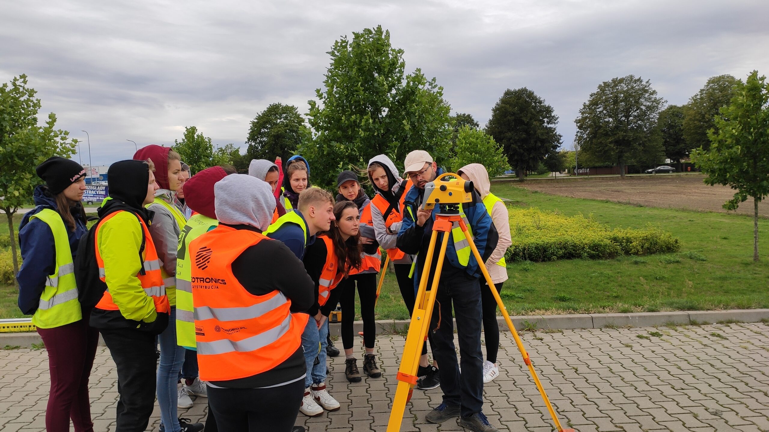
- Student apprenticeships and internships
- Employment prospects for graduates
