Keynote speakers
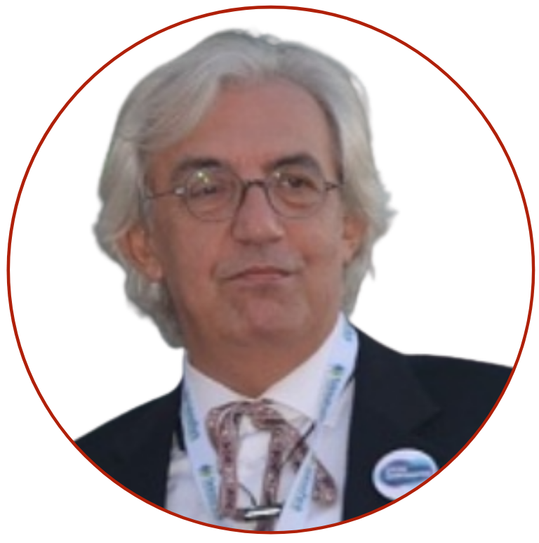
Prof. Bülent Bayram - Yildiz Technical University, Turkey
„Use of Deep Learning for Natural and Cultural Heritage Monitoring: A Case in Cappadocia”
Abstract: The deep learning method has been successfully used in many branches of sciences to resolve countless problems. In the keynote, Professor Bayram will introduce some of the essential elements of the Deep Learning method’s deployment for monitoring natural and cultural treasures found in the famous region of Turkey – Cappadocia. Within the scope of the discussed project, labelled datasets will be extracted from a previously built model of walls developed from regional materials. Subsequently, the labelled datasets are used to identify stone contours and cracks in historical buildings automatically. The project, known as YTU-CHNet2D/3D deep learning architectures, will enable working with a 3D point cloud. The project is first of its kind worldwide.
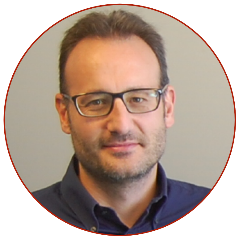
Prof. Fabio Remondino - Bruno Kessler Foundation (FBK), Trento, Italy
“3D surveying and Geoinformation meets AI”
Abstract: In the last two decades, 3D surveying and Geoinformatics have seen many innovation and changes, in terms of sensors and processing methodologies. In particular, the recent advancements in Artificial Intelligence (AI) algorithms for (geo)data processing and interpretation have shown the potential of such techniques. The talk will review recent advancements in 3D surveying and Geoinformation, with particular attention to contributions and innovations brought by AI-based solutions. Machine and deep learning methods will be introduced in problems like 4D city modeling, vegetation occlusions in power line 3D mapping, heritage and urban 3D point cloud classification, monocular depth estimation, super-resolution DEM and colorisation of historical images.
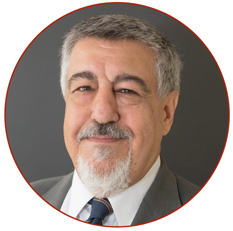
Prof. Chris Rizos - University of New South Wales, Australia
Abstract: Modern Geodesy has a powerful set of tools for mapping and monitoring the natural and built environments. In particular, Geodesy’s contributions to Earth System Observation are wide-ranging due to a combination of (mostly) space technologies such as GNSS, Satellite Altimetry & Laser Scanning, Satellite POD & Laser Ranging, Gravity Mapping Missions, and others, as well as engineering & estimation methodologies, optimised to observe & process vast volumes of erroneous, biased & ambiguous measurements. These contributions detect faint “signatures” of dynamic Earth and Engineering processes that have Geometric or Gravimetric characteristics. Increasingly these tools are used by many Geoscience and Engineering disciplines. But are Geodesists just “tool-makers”? No, many Geodesists now identify more with Geoscience than Geoinformation disciplines. But would not respectful partnerships with other disciplines be better than either the option of being a “tool-maker” or a (pseudo-)Geoscientist? This paper explores what Modern Geodesy might be able to contribute to such partnerships beyond what is currently the norm.
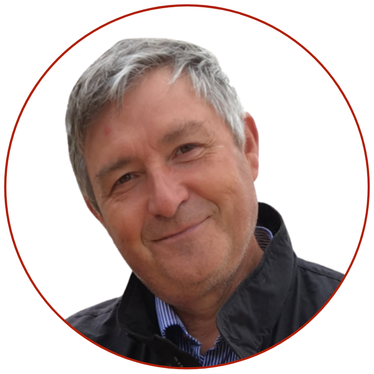
Prof. Åke Sivertun - RISE Research Institutes of Sweden
“New era in mapping and surveying with Unmanned Aerial Vehicles (UAV) – Flying autonomous and BVLOS”
Abstract: Unmanned Aerial Vehicles (UAVs) are the driving forces of contemporary surveying of land and water bodies. In the speech, the UAV revolution in surveying that enables performing tasks that are too dangerous, too dirty, too expensive or too dull to do using traditional surveying means will be discussed. However, to achieve a robust system, a suitable infrastructure is needed. A UAV testbed in Västervik, Sweden, a mobile infrastructure consisting of an nRTK station to produce correction signals to obtain cm-level precision in navigation and positioning in real-time, will be discussed. Cyber secure warnings system is in place if there are problematic space weather, technical problems or some criminals or governmental actors that disturb or manipulate the positioning signals from the GNSS satellites. A UAV that is 5 x 5 m and can carry a SAR or 150 l of water for fighting forest fires will be shown!

