Topics
The Conference is interdisciplinary and its subject area covers measurement and research, implementation and operational issues in the scope of:
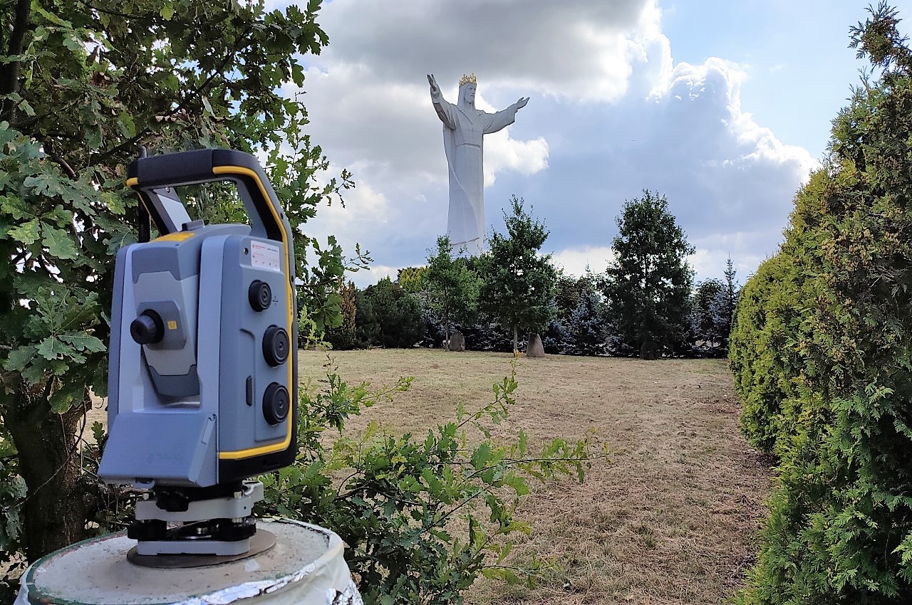
Surveying Engineering
- Remote sensing
- Photogrammetry
- GNSS measurements
- Laser scanning measurements
- Geodetic methods for displacement determination
- Monitoring and control systems in engineering applications
- Deformation measurements
- Mining surveying
- Cadastral surveying
Geoinformation and Cartography
- GIS (design, implementation and applications)
- Spatial data analysis
- Machine learning for spatial large data bases
- Internet of Things
- Application of IT methods
- BIM technology
- Geostatistical methods
- Cartographic modelling and visualization
- Cartographic databases
Civil Engineering and Architecture
- Geotechnics
- Monitoring of natural hazards
- Diagnosis of building structure
- Architectural inventory works
- Renovation, modernization and reconstruction of building object
Sustainable development
- Spatial planning
- Real estate appraisal
- Environmental engineering
- Sustainable use of post-industrial areas
- Reclamation of degraded areas
- Environmental damage analysis
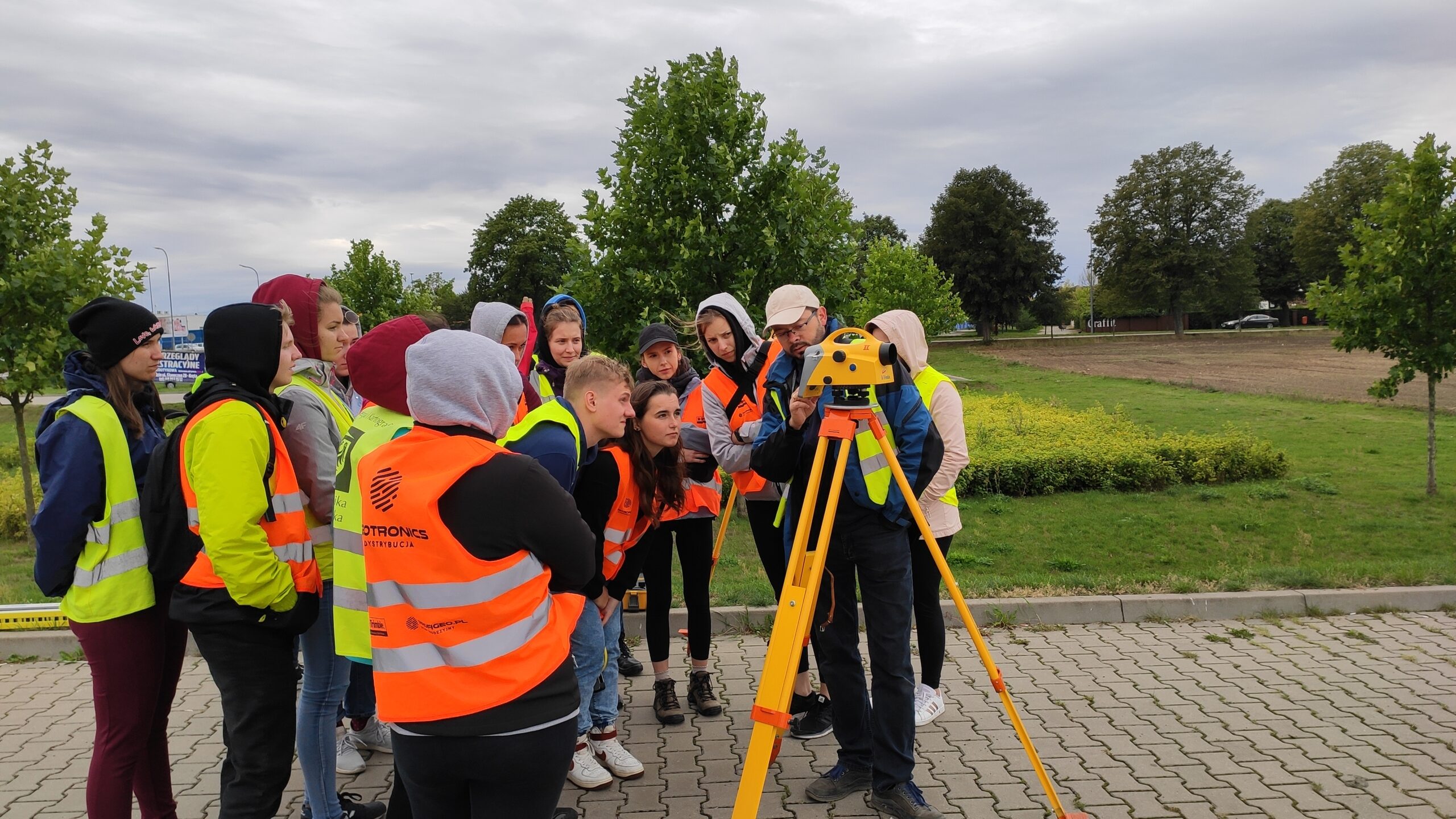
Education of surveyors and cartographers
- New areas of education
- Student apprenticeships and internships
Employment prospects for graduates
